TAMPA BAY
TAMPA BAY MITIGATION BANK PROJECT FEATURES
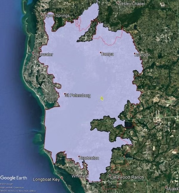
Tampa Bay Mitigation Bank is located in the southern portion of Hillsborough County, Florida. The bank site is approximately 161 acres and provides both saltwater and freshwater mitigation credits in the Tampa Bay Basin. The TBMB site consists of 161.2 acres surrounding the headwaters of Andrews Creek, on the southeast portion of the peninsula between Little Cockroach Bay and Cockroach Bay, east of the southern portion of the Southwest Florida Water Management District’s (SWFWMD) Cockroach Bay Habitat Restoration Project in southeastern Hillsborough County, Florida.
Tampa Bay Mitigation Bank may be used by both private and public clients for developments, infrastructure, roadway improvements, and other projects within the coastal portions of Hillsborough, Pinellas, and Manatee Counties. Led by Birkitt Environmental Services, Inc., Tampa Bay Mitigation Bank was designed utilizing a reclaimed shell mining area located on the Cockroach Bay Peninsula in the immediate vicinity of the Hillsborough County Cockroach Bay Habitat Restoration Project.
TAMPA BAY MITIGATION BANK RESTORATION AND ENHANCEMENT PLAN
Tampa Bay Mitigation Bank includes the creation of saltwater and freshwater wetlands on former agricultural lands. The bank will include enhancement of Andrew’s Creek, which drains to Cockroach Bay Aquatic Preserve and restoration of native upland habitat surrounding the wetlands. This wetlands creation and restoration provides significant ecological and water quality benefits to Cockroach Bay and the Tampa Bay Estuary.
An important element of the Tampa Bay Mitigation Bank is the enhancement of Andrews Creek and creation of tidal tributaries through elevation adjustment allowing tidal inundation of excavated wetland basins through Andrews Creek. Approximately 40.0 acres of low and high salt marsh interspersed with mangroves will be established through red mangrove (Rhizophora mangle) planting and recruitment, and planting saltmarsh cordgrass (Spartina patens), salt meadow cord grass (Spartina alterniflora), seashore paspalum (Paspalum distichum), saltwort (Batis maritima), and glass wort (Salicornia virginica) to accelerate salt marsh establishment (Myers and Ewel 1994).

